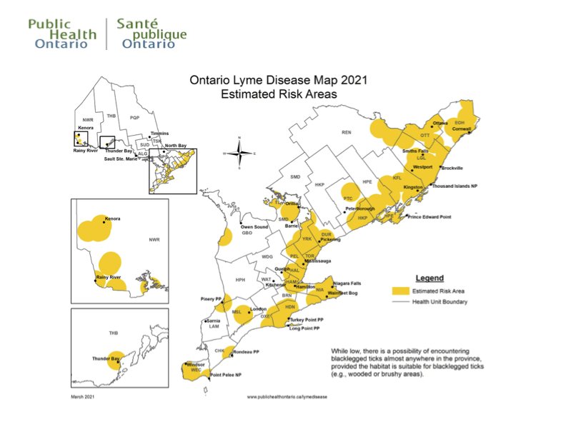
 The Ontario Ministry of Health has released a surveillance report Lyme Disease Map to give residents and health officials an idea of risk in their area.
The map is meant to be used in case investigations and raising awareness.
The map is based on location reports of tick cases submitted by public health and health care providers. It also considers suitable tick habitats based on what is in each area.
The Huron Perth Region is considered a low risk area based on the map. The same goes for Wellington Dufferin Guelph outside of the westerly fridge of Guelph that borders Haldimand and Hamilton.
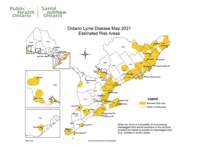
You can get more information by viewing the map below (useful if you are going to travel to another area).


