
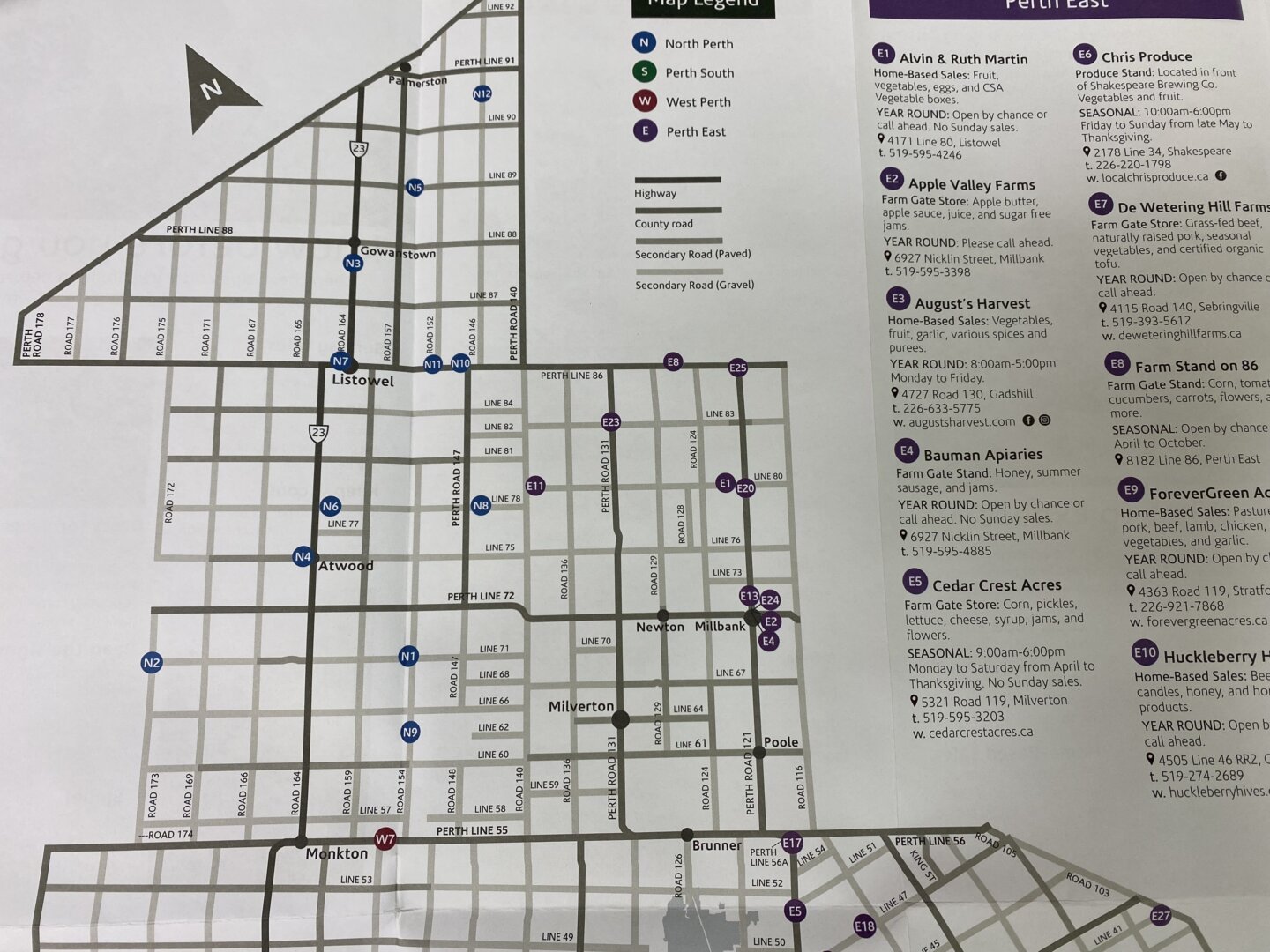
The 2022 Farm Gate Map for Perth County is out, showcasing many ways to support local produce and agriculture.
The Perth County Farm Gate Map tracks and shares information about local farms and agri-food businesses across the area and keeps the strong message to support local.
A large range of businesses are found on the map such as meat and cheese tours, maple syrup, jam and honey tours, you pick it experiences and farm animal encounters.
The map is coloured coded with each colour based on location for each municipality. Blue for North Perth, Green for Perth South, Red for West Perth and Purple for Perth East.
Various businesses and farm experiences are showcased on the map such as McIntosh Farms, Goats and 86 and Hoovers Maple Syrup.
An online look at the farm gate map can be found here.