


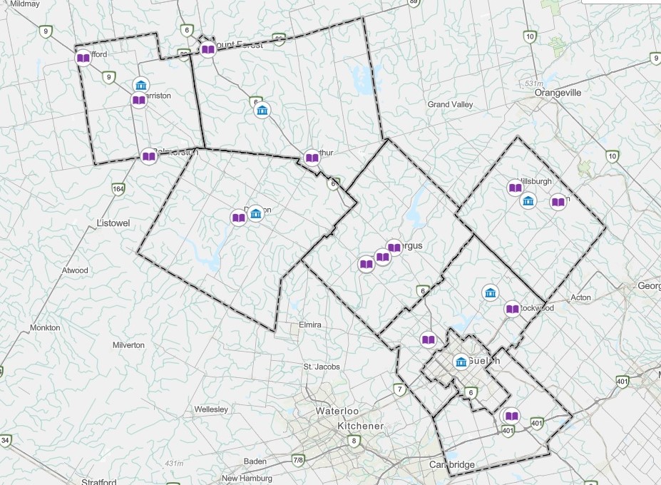
Wellington County has updated the Explore Wellington GIS Mapping system.
Built on Esri’ ArcGIS’ platform, this new system gives residents, businesses and municipal partners a faster and more intuitive way to explore geographic information across the county.
New features includes a modern and mobile friendly interface with faster map loading, improved accessibility features and enhanced support resources.
Warden Chris White says these improvements to Explore Wellington reflect the county’s commitment to providing innovative digital services which improve accessibility, collaboration and customer service.